Bridge4PS + TAK: Expanding Situational Awareness Without Adding Another Device
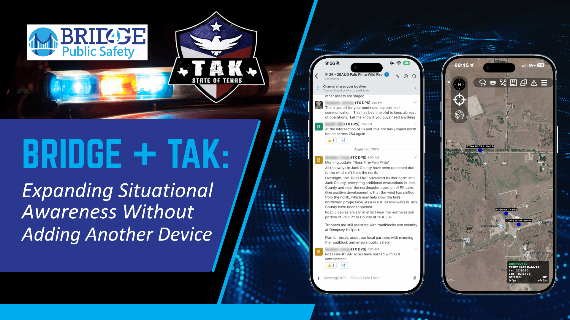
Situational awareness is one of the most powerful capabilities technology can provide during a public safety operation.
Knowing where personnel and resources are located helps incident commanders understand what is happening in the field, deploy resources more effectively, identify gaps, and make faster operational decisions.
Team Awareness Kit (TAK) has transformed how public safety agencies approach geospatial situational awareness. TAK provides a common operating picture that can display personnel, resources, operational overlays, and other mission-critical information on a shared map. TAK.gov describes the platform as supporting shared situational awareness across law enforcement, civil protection, disaster response, and other complex operations. (TAK.gov)
But not every responder who needs to appear on that common operating picture needs to actively use TAK.
That distinction matters.
With new location-sharing capabilities in Bridge4PS, agencies integrating Bridge4PS and TAK can now take a more flexible approach to situational awareness by allowing personnel to share their location to a selected TAK environment directly through Bridge.
For integrated Bridge and TAK deployments, this represents a significant step forward.
Not Every Dot on the Map Needs to Be a TAK Operator
TAK is an extraordinarily powerful operational tool, particularly for personnel who actively need its mapping, geospatial, navigation, and mission-specific capabilities.
But many personnel involved in an operation have a much simpler requirement.
They just need to be a dot on the map.
A patrol officer assigned to a perimeter may not need to interact with a tactical map.
A firefighter deployed to a particular sector may not need to create map objects or operational overlays.
A search and rescue team member may need to remain visible to command without actively interacting with TAK throughout the operation.
For these passive users, continuously operating a mapping application solely to provide location creates a practical challenge: battery life.
This is not unique to TAK. Continuous location services inherently consume mobile-device resources. Google’s Android developer guidance specifically notes that frequent, high-accuracy location updates can significantly affect battery life and recommends balancing accuracy, frequency, and latency based on the operational need. (Android Developers)
During an operation lasting eight, twelve, eighteen hours, or multiple operational periods, battery life is not simply a convenience.
It is an operational consideration.
Dedicated TAK Trackers Solve One Problem and Create Another
Some agencies have addressed this challenge by equipping personnel with dedicated TAK tracking devices.
That can preserve the responder’s primary phone battery while still placing the individual or resource on the TAK map.
But it also introduces another piece of equipment into the operation.
- Another device has to be purchased.
- Another device has to be inventoried.
- Another device has to be charged.
- Another device has to be issued.
- Another device has to remain paired and connected.
- And another device has to make it back at the end of the operation.
At scale, that additional hardware and logistics burden can become significant.
The question becomes: What if personnel who already use Bridge for operational communications could also contribute their location to the TAK common operating picture without requiring a separate tracker?
Now they can.
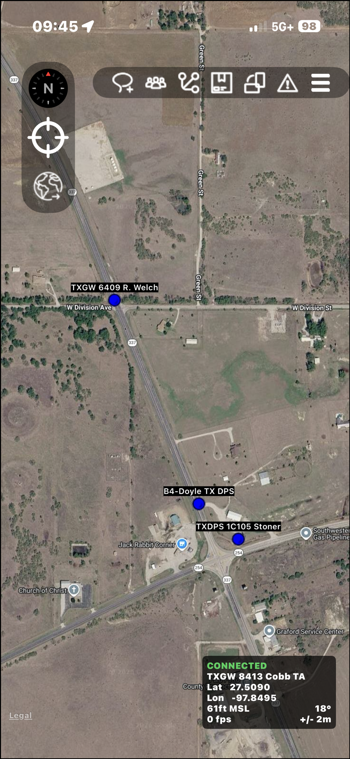
Location Sharing from Bridge to TAK
Bridge4PS now enables users to choose to share their location from Bridge into an integrated TAK environment.
The model is intentionally straightforward.
A Bridge channel owner can enable location sharing for a particular operational channel and select the API key associated with the TAK server where location information should be shared.
Channel members who have location sharing enabled in Bridge4PS can then appear within that TAK environment.
This creates an important new connection between the two platforms.
TAK continues to provide the geospatial common operating picture.
Bridge continues to provide the real-time collaboration environment.
But personnel no longer necessarily have to actively operate both applications simply to contribute their location to the mission.
For agencies already deploying Bridge and TAK together, this substantially expands the potential value of the integrated environment.
Matching the Tool to the User
One of the most important lessons we have learned through years of public safety technology deployments is that not every responder needs the same tools.
Incident commanders may need a comprehensive geospatial operating picture.
A search and rescue team may actively use TAK for navigation, waypoints, tracks, overlays, and field coordination.
An intelligence unit may need different capabilities.
A patrol officer assigned to traffic control may simply need messaging, operational updates, and the ability to share their location.
Trying to force every participant into exactly the same workflow creates unnecessary complexity.
Integration allows agencies to take a different approach.
Personnel who need TAK can use TAK.
Personnel who primarily need Bridge can use Bridge.
Command can still benefit from a more complete common operating picture.
That is what interoperability should accomplish. Technology should work together around the operational requirements of the mission rather than forcing every responder to interact with every system.
Bridge and TAK Were Already Complementary
The Bridge and TAK relationship did not begin with location sharing.
Texas has already demonstrated the value of treating the platforms as complementary components of a broader interoperability strategy.
The Texas Department of Public Safety has advanced a statewide interoperability model using TAK for shared geospatial situational awareness and Bridge4PS for secure, real-time collaboration. Bridge also supports the Texas TAK community through real-time user support, knowledge sharing, onboarding, and access to the Texas TAK environment.
That model recognizes something important.
A map and a messaging platform solve different operational problems.
TAK answers questions such as:
Where are my people and resources?
What does the operational environment look like?
Bridge helps answer:
What is happening?
What do those people need?
What information do they need to share?
How do we coordinate their actions across agencies and disciplines?
Bringing those capabilities closer together creates a more complete operational environment.
Read more about this approach in our Texas Interoperability App Suite: Bridge4PS + TAK case study:
From Shared Location to Shared Situational Awareness
Location sharing is about more than putting dots on a map.
A location becomes operationally valuable when it has context.
Who is that responder?
What agency are they with?
What operation are they supporting?
What assignment do they have?
What are they seeing?
What do they need?
This is where integrating real-time collaboration with geospatial situational awareness becomes especially powerful.
A commander can see where resources are located in TAK while personnel coordinate within their Bridge operational channels.
That creates a stronger connection between the common operating picture and the conversations driving the operation.
It also helps extend situational awareness to personnel who might otherwise never appear on the map because their role did not justify issuing another device or requiring them to actively operate TAK.
A More Scalable Model for Multi-Agency Operations
The value becomes even greater during large multi-agency incidents.
Disasters, searches, special events, civil unrest, wildfires, major crime scenes, and other complex operations can involve hundreds or thousands of personnel from organizations with very different levels of TAK adoption and proficiency.
Some may be advanced TAK users.
Some may have limited experience.
Others may simply need to communicate and remain visible to incident command.
Bridge location sharing creates another pathway into the common operating picture without requiring every participant to have the same operational workflow.
That can make integrated Bridge and TAK deployments easier to scale across agencies, disciplines, and different types of users.
It also reflects the broader philosophy behind Bridge4PS.
Interoperability should reduce friction, not create more of it.
The Next Step in Bridge + TAK Integration
TAK has already changed what is possible for geospatial situational awareness in public safety.
Bridge4PS has changed how responders collaborate across organizational and jurisdictional boundaries.
Connecting those capabilities creates opportunities neither platform can provide as effectively alone.
Location sharing from Bridge represents an important next step.
For active TAK users, TAK remains the powerful geospatial tool they already know.
For passive users, Bridge can provide a simpler way to contribute location while continuing to communicate through the collaboration platform they are already using.
For command, the result can be greater visibility across the operation.
For agencies, it can mean fewer dedicated tracking devices to purchase, issue, charge, pair, and manage.
Most importantly, it creates a more flexible model for situational awareness in which technology adapts to the role of the responder rather than requiring every responder to adapt to the technology.
For additional technical context on TAK and its role in providing a common operating picture, visit the official U.S. Government TAK website:
Frequently Asked Questions
Ready to strengthen your team's communication security?
See how Bridge4PS can transform your emergency response coordination with secure, compliant messaging built for public safety.